
OPEN SPACE | BROWNFIELDS
Concern
|
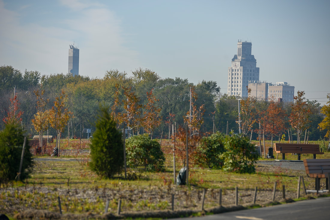
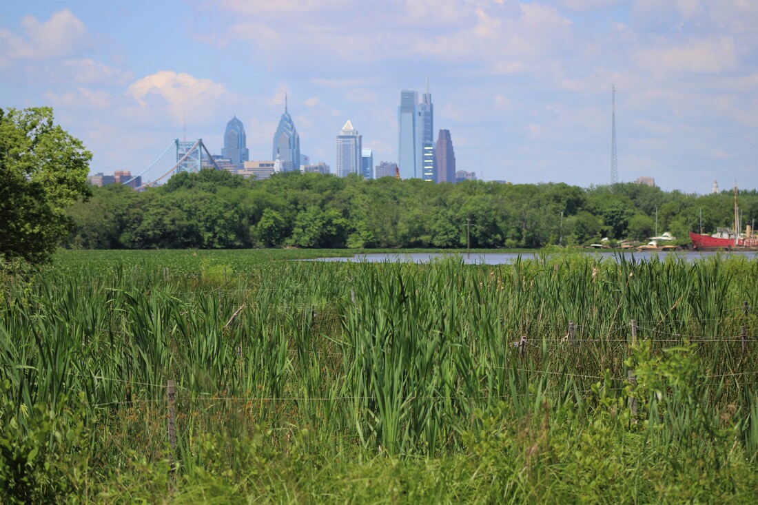
Camden was once a booming industrial city. Within Camden's 9 square-mile area there are 2 Superfund sites and 114 known contaminated sites. The large amounts of vacant and contaminated land in this former industrial center hamper redevelopment efforts and impact the quality of life of residents. Vacant structures also pose a significant threat to public health and safety.
|
|
Goal
To advocate and/or facilitate sustainable land use decisions that maintain the positive use of spaces.
Focus AreaS & Activities
Accomplishments
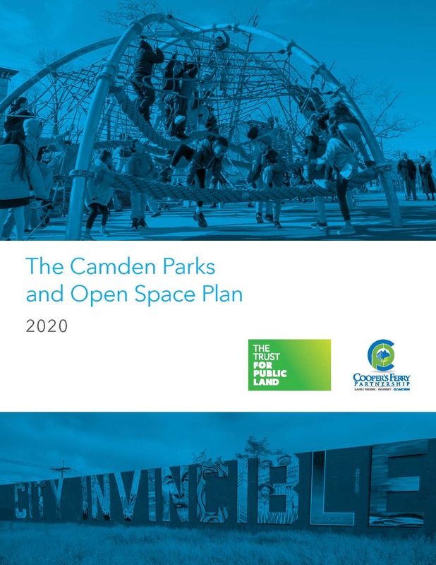
- City of Camden has amended the attached Camden Parks and Open Space Plan to the Master Plan in January of 2022
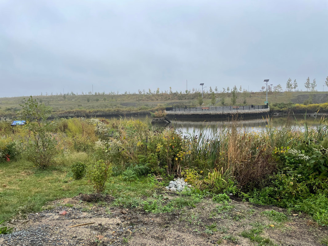
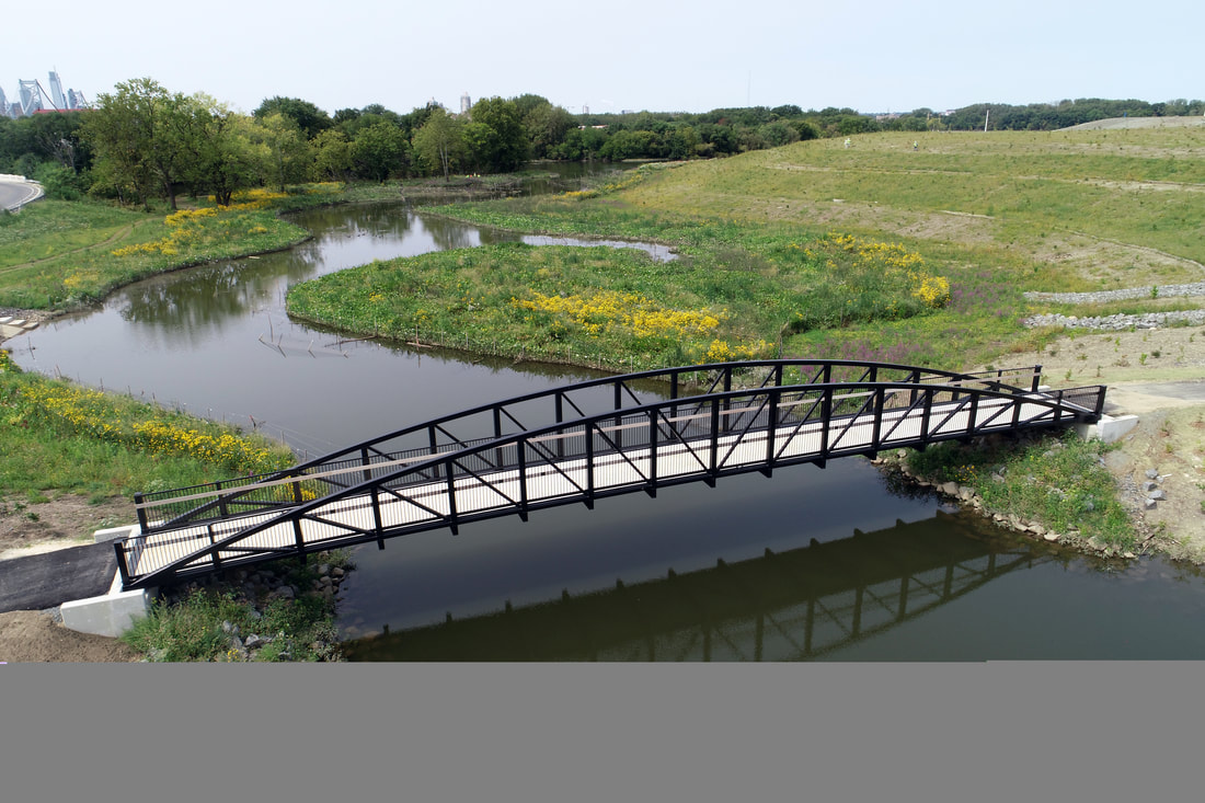
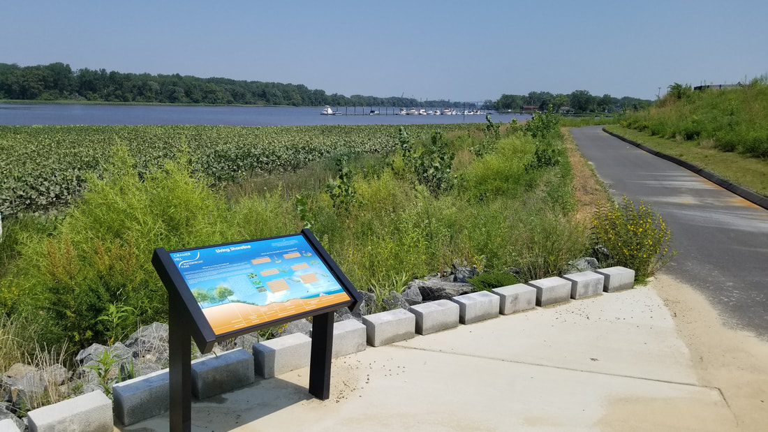
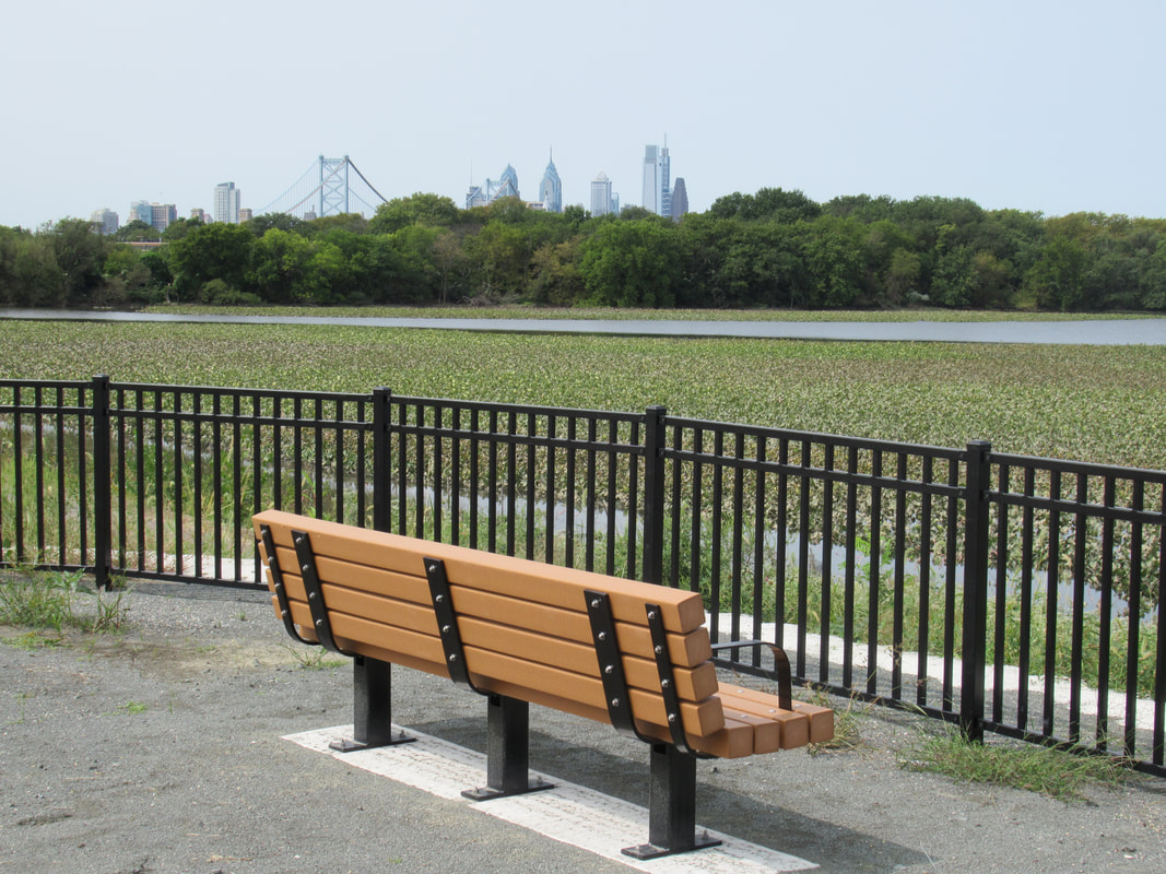
- Opening of the Cramer Hill Waterfront Park in November 2021
- Identification of best opportunities for development and green space preservation
- Opening of Phoenix Park on June 2, 2015
Camden Parks & Open Space Plan:
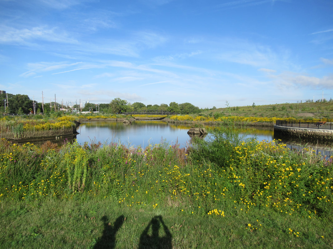
Cramer Hill Waterfront Park:
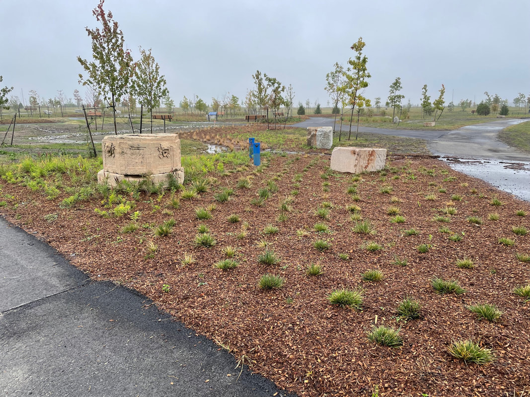

Pheonix Park:
Camden Conservation blueprint
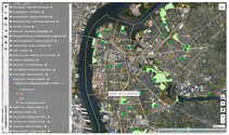
Camden Conservation Blueprint is an easy to use, data driven interactive map that includes key information about public health and demographics, as well as detailed information about parks and open spaces; the condition of recreation facilities and how accessible parks are for residents.
Our vision is to provide residents, community groups, organizations and planners with the tools and information they need to help increase access to parks and to improve the health and quality of life for everyone living and working in Camden.
The map can be used to gather information, advocate for community improvements, prioritize projects and expand programming in areas where it is most needed, enabling informed decisions and healthy outcomes. Camden Conservation Blueprint could be used to:
- Advocate for change to improve health outcomes for people living and working in Camden
- Effectively prioritize, plan and deliver needed programming for the community
- Create increased access to green spaces and recreation opportunities
- Create new parks for underserved residents
- Advocate for increased funding and maintenance of parks
- Maximize space for urban gardening and healthy food initiatives
- Advocate for and implement programs and infrastructure that reduces flooding
- Look for ways to reduce the urban heat effect (e.g. increasing the urban tree canopy)
- And more…
For more information about the Open Space & Brownfields Working Group contact [email protected]